Aug 26, 2024 | Active Projects
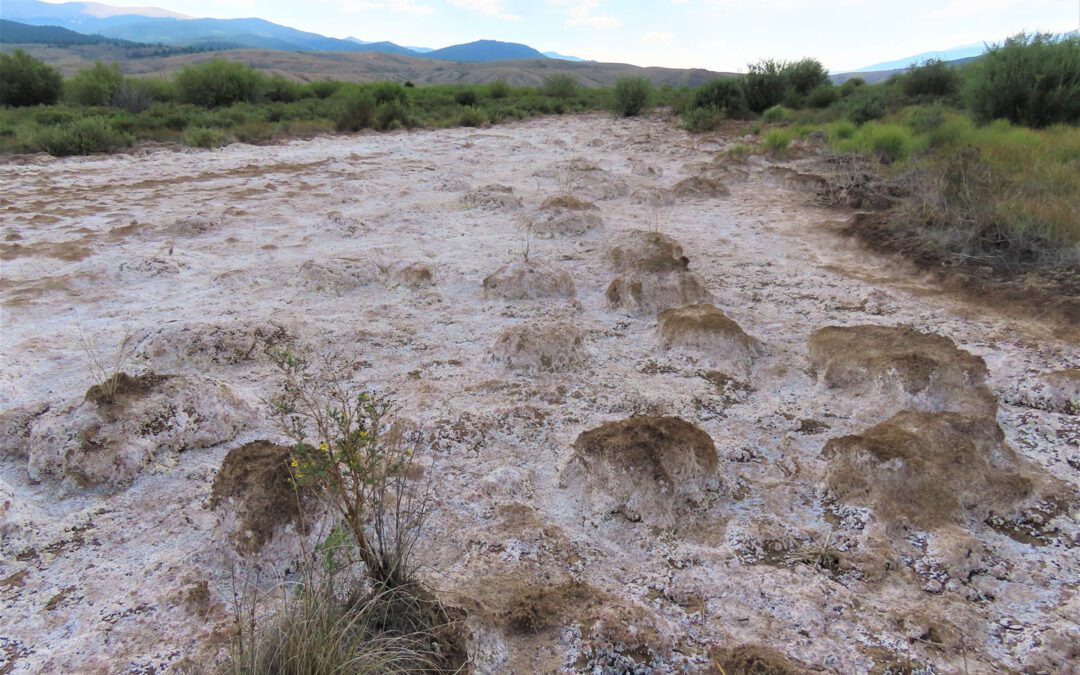
Project Background Along an 11-mile stretch of the Arkansas River, almost 7 acres of fluvial tailings—contaminated deposits from historic mining operations in the Leadville Mining District—pose significant environmental and public health risks. These white,...

Aug 26, 2024 | Active Projects
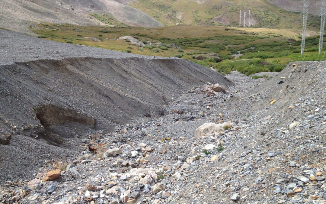
Project Background The Sherman Mine, also known as Day Mines, is situated in the upper Iowa Gulch at the base of Mt. Sherman, approximately 8 miles northwest of Leadville. The mine operated from 1968 to 1982, primarily producing silver, lead, and zinc. In 2008, the...

Aug 26, 2024 | Active Projects
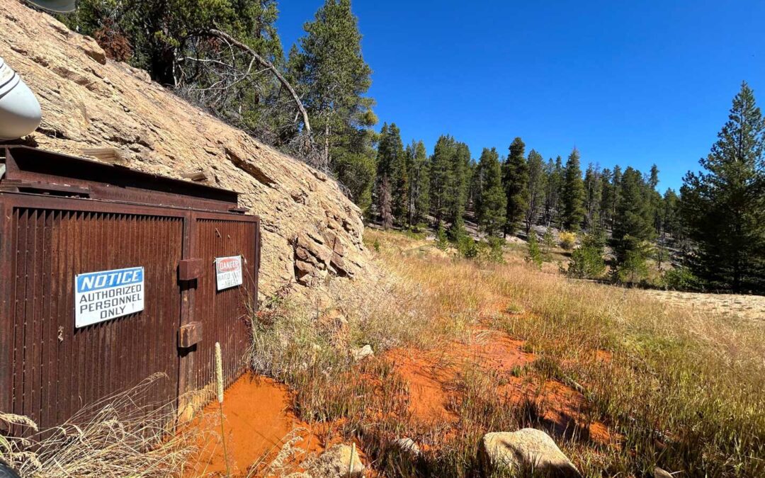
Project Background The Dinero Mine Tunnel, located in the upper Arkansas River area, has been the focus of restoration efforts since 2009, when a bulkhead was installed to improve water quality by reducing metal concentrations in water leaking from the tunnel. While...

Aug 26, 2024 | Active Projects
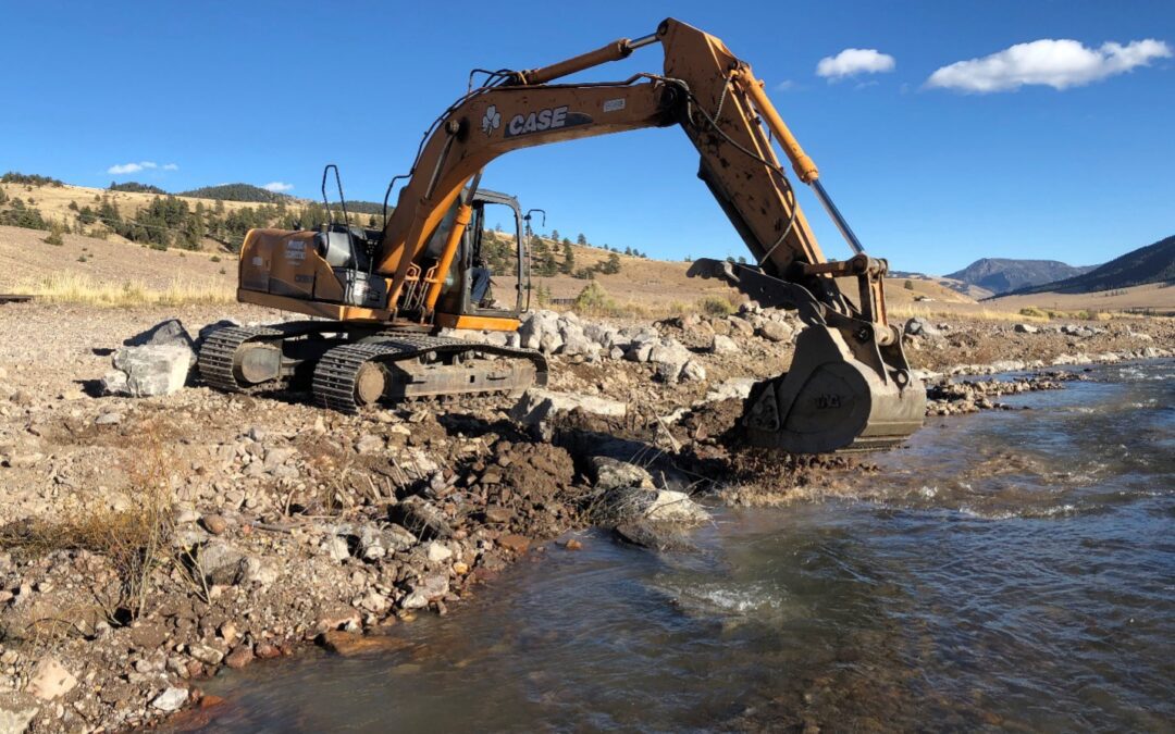
The Challenge A 2,000-foot stretch of the East Fork of the Arkansas River has been drastically altered, with its natural winding path straightened into a simpler, less complex channel. This modification has split the river into two parallel paths: the original,...

Aug 22, 2024 | Active Projects
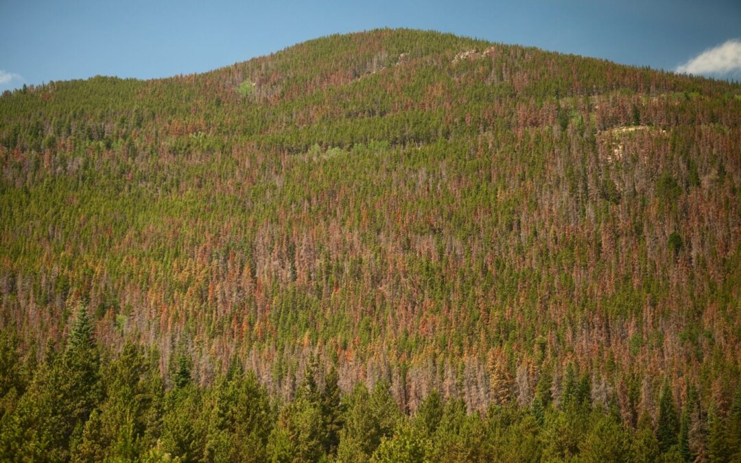
Lake County recognizes the severe impacts of wildfires and has updated its approach through the Community Wildfire Protection Planning (CWPP) process. This new CWPP uses a data-driven strategy to prioritize areas for fuel treatment and forest health initiatives. Over...

Aug 16, 2024 | Active Projects
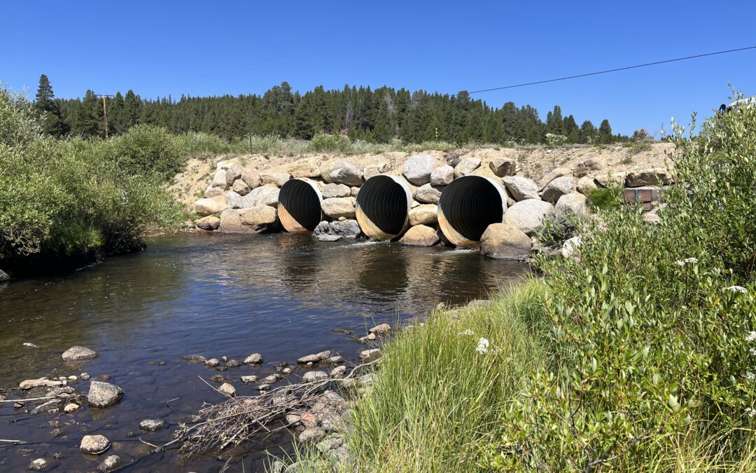
The culvert located at Lake County Road 9 at Tennessee Creek is currently above the base water level, preventing fish and other aquatic organism passage. Additionally, beaver ponding upstream of the inlet is causing debris and sediment to pile up, increasing the need...
